Suriname and Grenada Country Profiles – 1982
CIA-RDP86M00886R001200340047-4
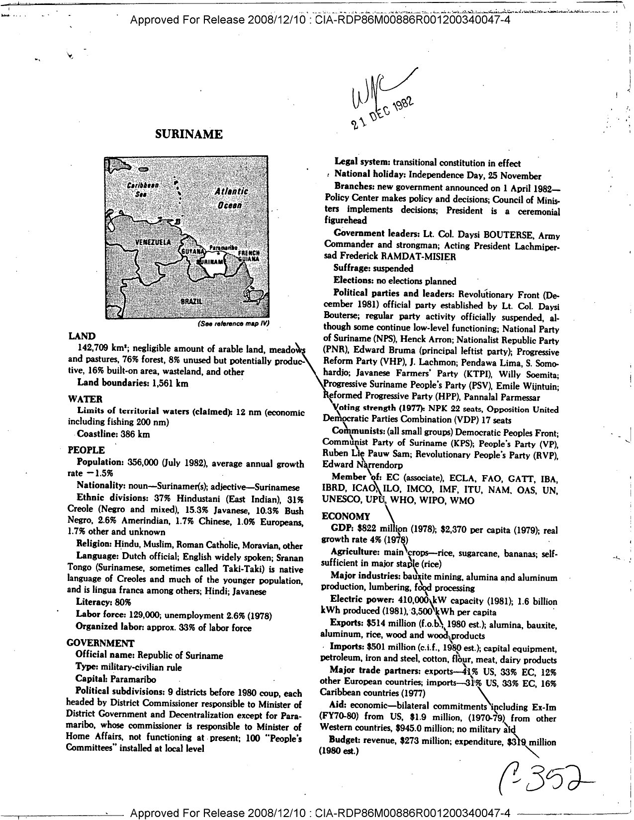
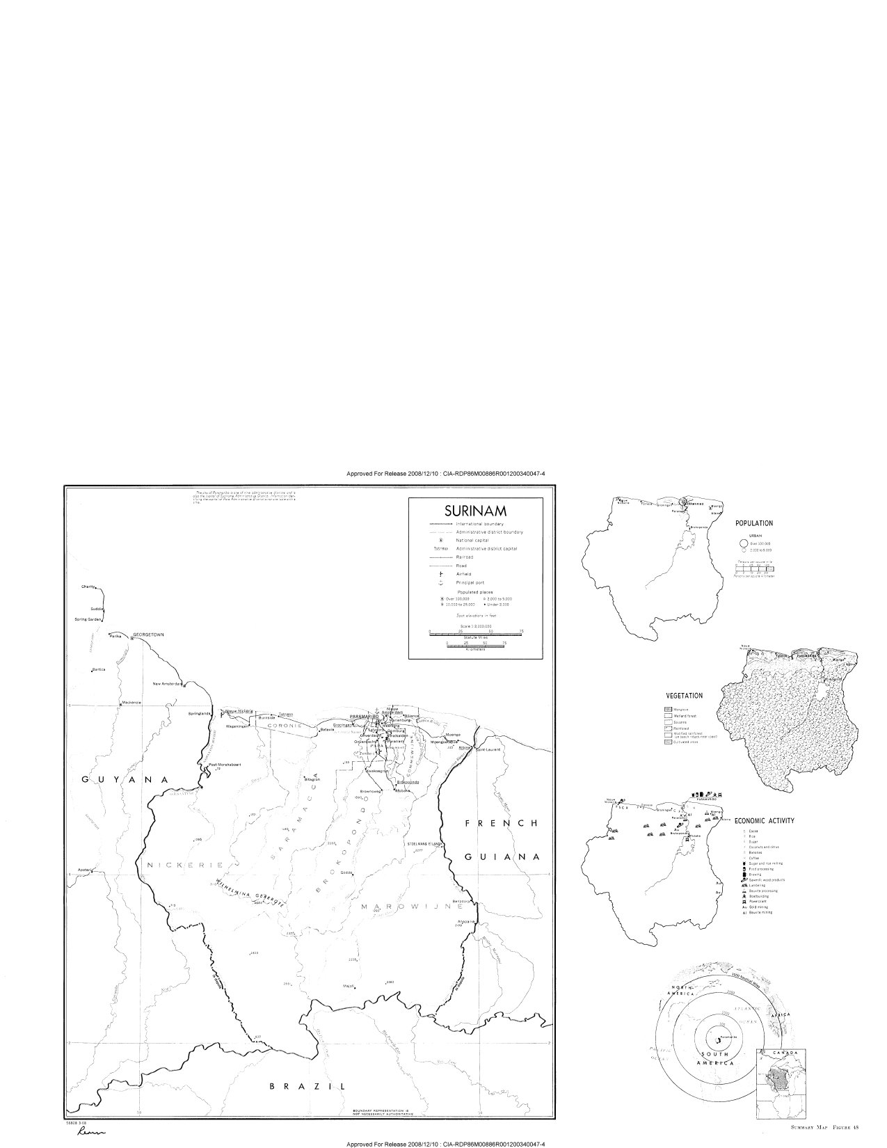
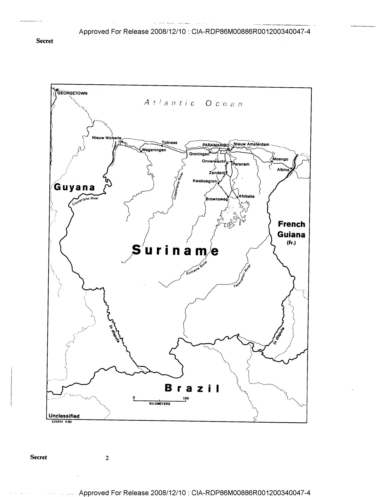
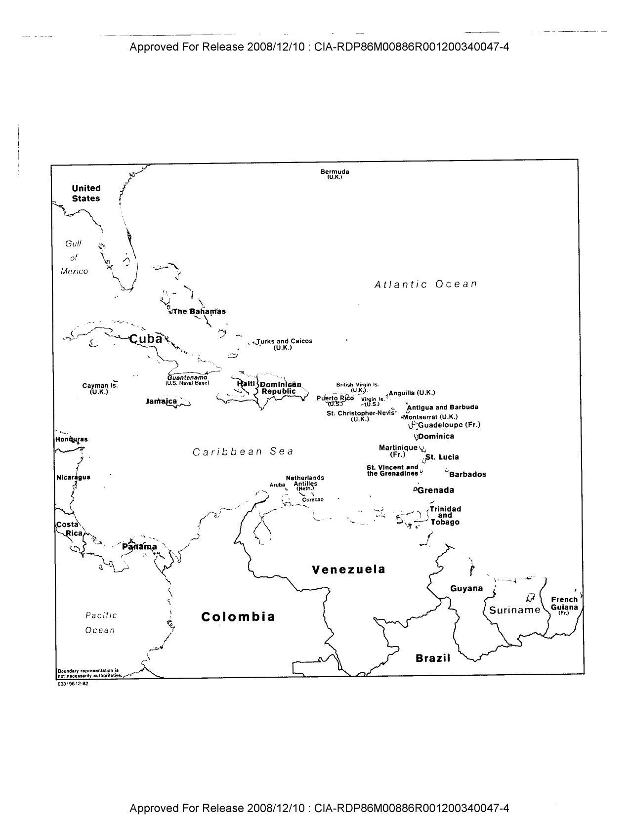
Suriname
LAND
Area: 142,709 km²; negligible amount of arable land, meadows and pastures, 76% forest, 8% unused but potentially productive, 16% built-on area, wasteland, and other
Land boundaries: 1,561 km
WATER
Limits of territorial waters (claimed): 12 nm (economic including fishing 200 nm)
Coastline: 386 km
PEOPLE
Population: 356,000 (July 1982), average annual growth rate -1.5%
Nationality: noun—Surinamer(s); adjective—Surinamese
Ethnic divisions: 37% Hindustani (East Indian), 31% Creole (Negro and mixed), 15.3% Javanese, 10.3% Bush Negro, 2.6% Amerindian, 1.7% Chinese, 1.0% Europeans, 1.7% other and unknown
Religion: Hindu, Muslim, Roman Catholic, Moravian, other
Language: Dutch official; English widely spoken; Sranan Tongo (Surinamese, sometimes called Taki-Taki) is native language of Creoles and much of the younger population, and is lingua franca among others; Hindi; Javanese
Literacy: 80%
Labor force: 129,000; unemployment 2.6% (1978)
Organized labor: approx. 33% of labor force
GOVERNMENT
Official name: Republic of Suriname
Type: military-civilian rule
Capital: Paramaribo
Political subdivisions: 9 districts before 1980 coup, each headed by District Commissioner responsible to Minister of District Government and Decentralization except for Paramaribo, whose commissioner is responsible to Minister of Home Affairs, not functioning at present; 100 “People’s Committees” installed at local level
Legal system: transitional constitution in effect
National holiday: Independence Day, 25 November
Branches: new government announced on 1 April 1982—Policy Center makes policy and decisions; Council of Ministers implements decisions; President is a ceremonial figurehead
Government leaders: Lt. Col. Daysi BOUTERSE, Army Commander and strongman; Acting President Lachmipersad Frederick RAMDAT-MISIER
Suffrage: suspended
Elections: no elections planned
Political parties and leaders: Revolutionary Front (December 1981) official party established by Lt. Col. Daysi Bouterse; regular party activity officially suspended, although some continue low-level functioning; National Party of Suriname (NPS), Henck Arron; Nationalist Republic Party (PNR), Edward Bruma (principal leftist party); Progressive Reform Party (VHP), J. Lachmon; Pendawa Lima, S. Somohardjo; Javanese Farmers’ Party (KTPI), Willy Soemita; Progressive Suriname People’s Party (PSV), Emile Wijntuin; Reformed Progressive Party (HPP), Pannalal Parmessar
Voting strength (1977): NPK 22 seats, Opposition United Democratic Parties Combination (VDP) 17 seats
Communists: (all small groups) Democratic Peoples Front; Communist Party of Suriname (KPS); People’s Party (VP), Ruben Lie Pauw Sam; Revolutionary People’s Party (RVP), Edward Narrendorp
Member of: EC (associate), ECLA, FAO, GATT, IBA, IBRD, ICAO, ILO, IMCO, IMF, ITU, NAM, OAS, UN, UNESCO, UPU, WHO, WIPO, WMO
ECONOMY
GDP: $822 million (1978); $2,370 per capita (1979); real growth rate 4% (1978)
Agriculture: main crops—rice, sugarcane, bananas; self-sufficient in major staple (rice)
Major industries: bauxite mining, alumina and aluminum production, lumbering, food processing
Electric power: 410,000 kW capacity (1981); 1.6 billion kWh produced (1981), 3,500 kWh per capita
Exports: $514 million (f.o.b., 1980 est.); alumina, bauxite, aluminum, rice, wood and wood products
Imports: $501 million (c.i.f., 1980 est.); capital equipment, petroleum, iron and steel, cotton, flour, meat, dairy products
Major trade partners: exports—41% US, 33% EC, 12% other European countries; imports—31% US, 33% EC, 16% Caribbean countries (1977)
Aid: economic—bilateral commitments including Ex-Im (FY70-80) from US, $1.9 million; (1970-79) from other Western countries, $945.0 million; no military aid
Budget: revenue, $273 million; expenditure, $319 million (1980 est.)
Monetary conversion rate: 1 Suriname guilder (S. fl.) = US$0.560
Fiscal year: calendar year
COMMUNICATIONS
Railroads: 166 km total; 86 km meter gauge (1.00 m) (government owned) and 80 km narrow gauge (industrial lines); all single track
Highways: 8,780 km total; 2,210 km paved, 1,990 km gravel, 2,400 km improved earth, 2,180 km unimproved earth
Inland waterways: 4,500 km; most important means of transport; oceangoing vessels with drafts ranging from 4.2 m to 7 m can navigate many of the principal waterways while native canoes navigate upper reaches
Ports: 1 major (Paramaribo), 6 minor
Civil air: 2 major transport aircraft, leased
Airfields: 29 total, 28 usable; 2 with permanent-surface runways; 1 with runways 2,440–3,659 m, 1 with runways 1,220–2,439 m
Telecommunications: international facilities good; domestic radio-relay system; 21,300 telephones (6.1 per 100 pop.); 6 AM, 2 FM, and 6 TV stations; 2 Atlantic satellite stations
DEFENSE FORCES
Military manpower: males 15–49, 63,000; 40,000 fit for military service
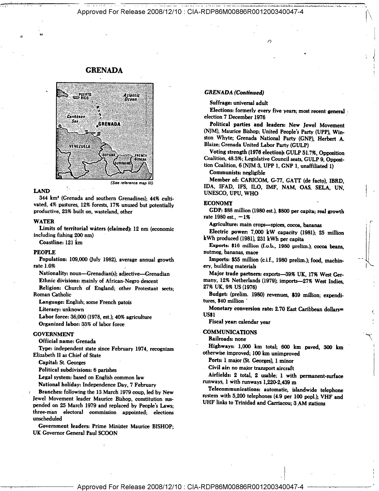
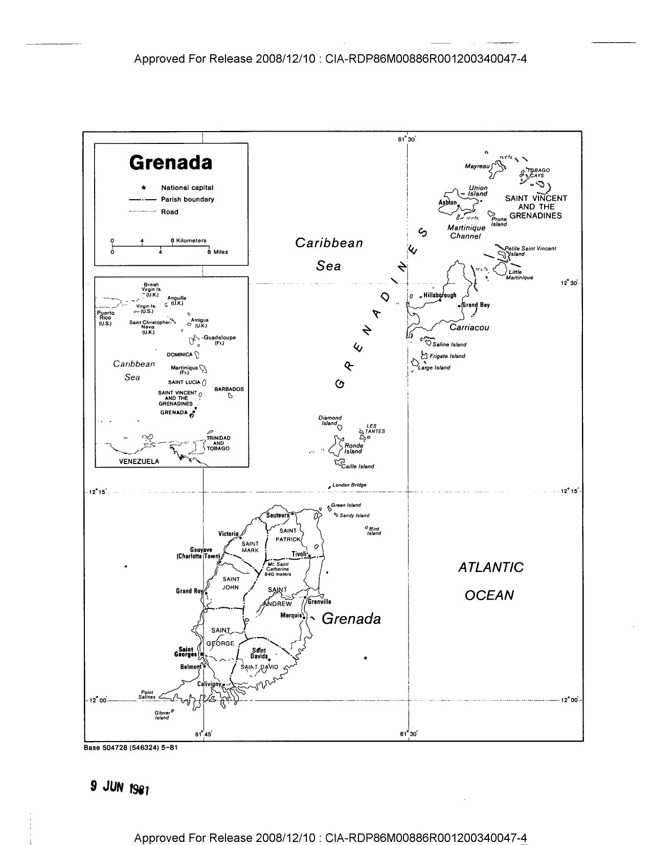
Grenada
LAND
Area: 344 km² (Grenada and southern Grenadines); 44% cultivated, 4% pastures, 12% forests, 17% unused but potentially productive, 23% built-on, wasteland, other
Limits of territorial waters (claimed): 12 nm (economic including fishing 200 nm)
Coastline: 121 km
PEOPLE
Population: 109,000 (July 1982), average annual growth rate 1.0%
Nationality: noun—Grenadian(s); adjective—Grenadian
Ethnic divisions: mainly of African-Negro descent
Religion: Church of England; other Protestant sects; Roman Catholic
Language: English; some French patois
Literacy: unknown
Labor force: 36,000 (1978, est.); 40% agriculture
Organized labor: 33% of labor force
GOVERNMENT
Official name: Grenada
Type: independent state since February 1974, recognizes Elizabeth II as Chief of State
Capital: St. Georges
Political subdivisions: 6 parishes
Legal system: based on English common law
National holiday: Independence Day, 7 February
Branches: following the 13 March 1979 coup, led by New Jewel Movement leader Maurice Bishop, constitution suspended on 25 March 1979 and replaced by People’s Laws; three-man electoral commission appointed; elections unscheduled
Government leaders: Prime Minister Maurice BISHOP; UK Governor General Paul SCOON
Suffrage: universal adult
Elections: formerly every five years; most recent general election 7 December 1976
Political parties and leaders: New Jewel Movement (NJM), Maurice Bishop; United People’s Party (UPP), Winston Whyte; Grenada National Party (GNP), Herbert A. Blaize; Grenada United Labor Party (GULP)
Voting strength (1976 election): GULP 51.7%, Opposition Coalition 48.3%; Legislative Council seats, GULP 9, Opposition Coalition 6 (NJM 3, UPP 1, GNP 1, unaffiliated 1)
Communists: negligible
Member of: CARICOM, G-77, GATT (de facto), IBRD, IDA, IFAD, IFS, ILO, IMF, NAM, OAS, SELA, UN, UNESCO, UPU, WHO
ECONOMY
GDP: $88 million (1980 est.), $800 per capita; real growth rate 1980 est., -1%
Agriculture: main crops—spices, cocoa, bananas
Electric power: 7,000 kW capacity (1981); 25 million kWh produced (1981), 231 kWh per capita
Exports: $16 million (f.o.b., 1980 prelim.); cocoa beans, nutmeg, bananas, mace
Imports: $55 million (c.i.f., 1980 prelim.); food, machinery, building materials
Major trade partners: exports—39% UK, 17% West Germany, 12% Netherlands (1979); imports—27% West Indies, 27% UK, 9% US (1976)
Budget: (prelim. 1980) revenues $39 million; expenditures $40 million
Monetary conversion rate: 2.70 East Caribbean dollars = US$1
Fiscal year: calendar year
COMMUNICATIONS
Railroads: none
Highways: 1,000 km total; 600 km paved, 300 km otherwise improved; 100 km unimproved
Ports: 1 major (St. Georges), 1 minor
Civil air: no major transport aircraft
Airfields: 2 total, 2 usable; 1 with permanent-surface runways, 1 with runways 1,220–2,439 m
Telecommunications: automatic, islandwide telephone system with 5,200 telephones (4.9 per 100 pop.); VHF and UHF links to Trinidad and Carriacou; 3 AM stations
MEMORANDUM FOR
Grenada – Population 109,000 (July 1982)
Suriname – Population 356,000 (July 1982)
We are still attempting to ascertain the population of the capital, and will pass it to you as soon as it is available.
Source:
Link:
Internal Link: